Sherwood Park is great if you have kids, or a dog, or only 1/2 hour to get a quick hit of nature. It is a roughly three-pronged park between Mt Pleasant and Bayview, just south of Blythwood (think Sunnybrook Hospital).
There is a small parking area at the east end of Sherwood Avenue, off of Mt Pleasant. From there you walk down a service road for City vehicles, alongside a popular winter tobogganing area.
There is a small parking area at the east end of Sherwood Avenue, off of Mt Pleasant. From there you walk down a service road for City vehicles, alongside a popular winter tobogganing area.
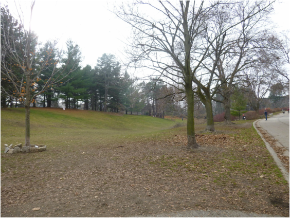
isYou can also park on the south side of Blythwood Road just east of Mt Pleasant. This entrance to the park is at the bottom of the dip in the road. (Sherwood Park is to the south. You can also take the trail north where it's called Blythwood Ravine Park and heads NW towards Yonge and Lawrence.) This section of Sherwood Park is home to a kids' playground, summer splashpad, and BBQ/picnic areas.
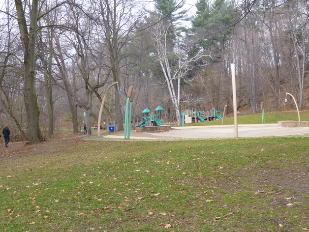
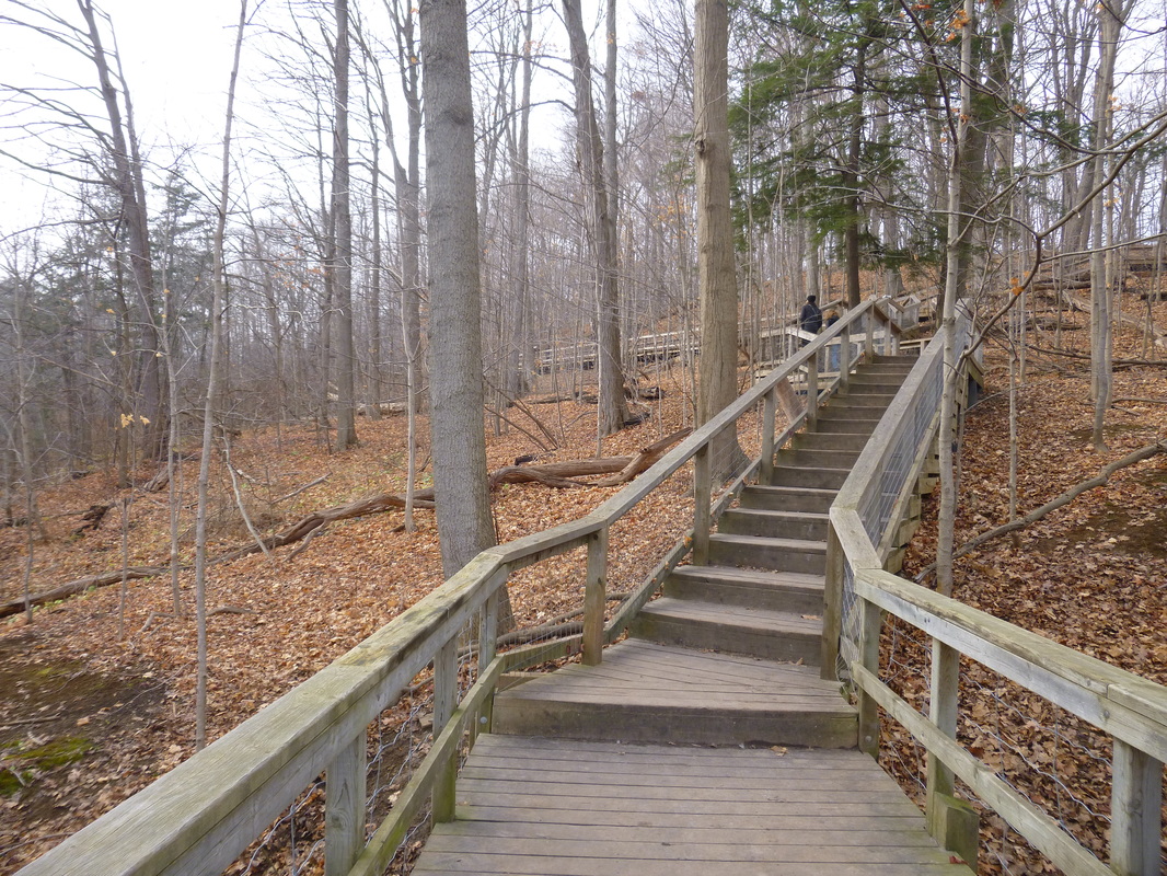
These 2 sections of the park meet where the third and biggest begins... the forested offleash area. Doggie heaven! But also a lovely place to walk even if you are dogfree. Lots of trees, choices of trails, some stairs and boardwalks, some river views and river access. When the leaves are off the trees you can see the cemetery to the south and houses to the north, but it is still a peaceful place.
Note... it can sometimes get a little busy at peak times, mainly weekdays 10-3 with dogwalkers, but if you have a dog it's a great social outing!
This section of Sherwood continues all the way east to Bayview Ave.
Note... it can sometimes get a little busy at peak times, mainly weekdays 10-3 with dogwalkers, but if you have a dog it's a great social outing!
This section of Sherwood continues all the way east to Bayview Ave.
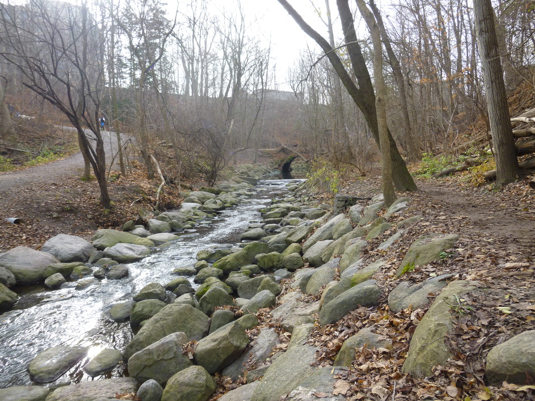
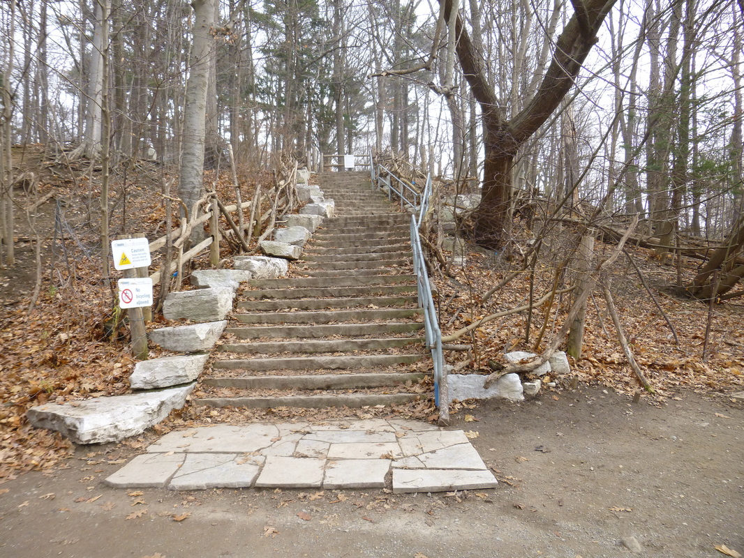
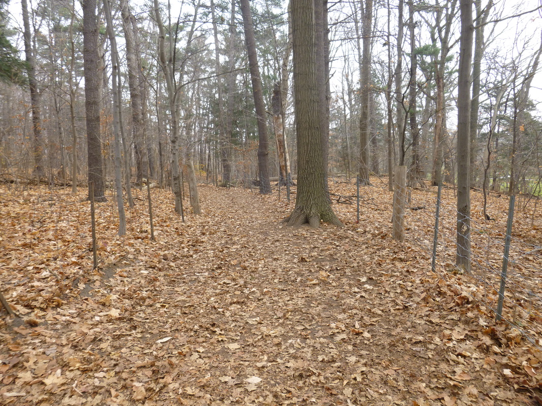
You can also enter the park from Bayview Avenue, but there is nowhere to park. Just north of the CNIB overpass and new condos, on the west side of Bayview, there is a trail down into the valley. A City garbage receptacle marks the start of the trail.
Here is a link to a map of the park. Enjoy!
https://www.google.com/maps/@43.7170404,-79.3859565,16z?hl=en
Here is a link to a map of the park. Enjoy!
https://www.google.com/maps/@43.7170404,-79.3859565,16z?hl=en
